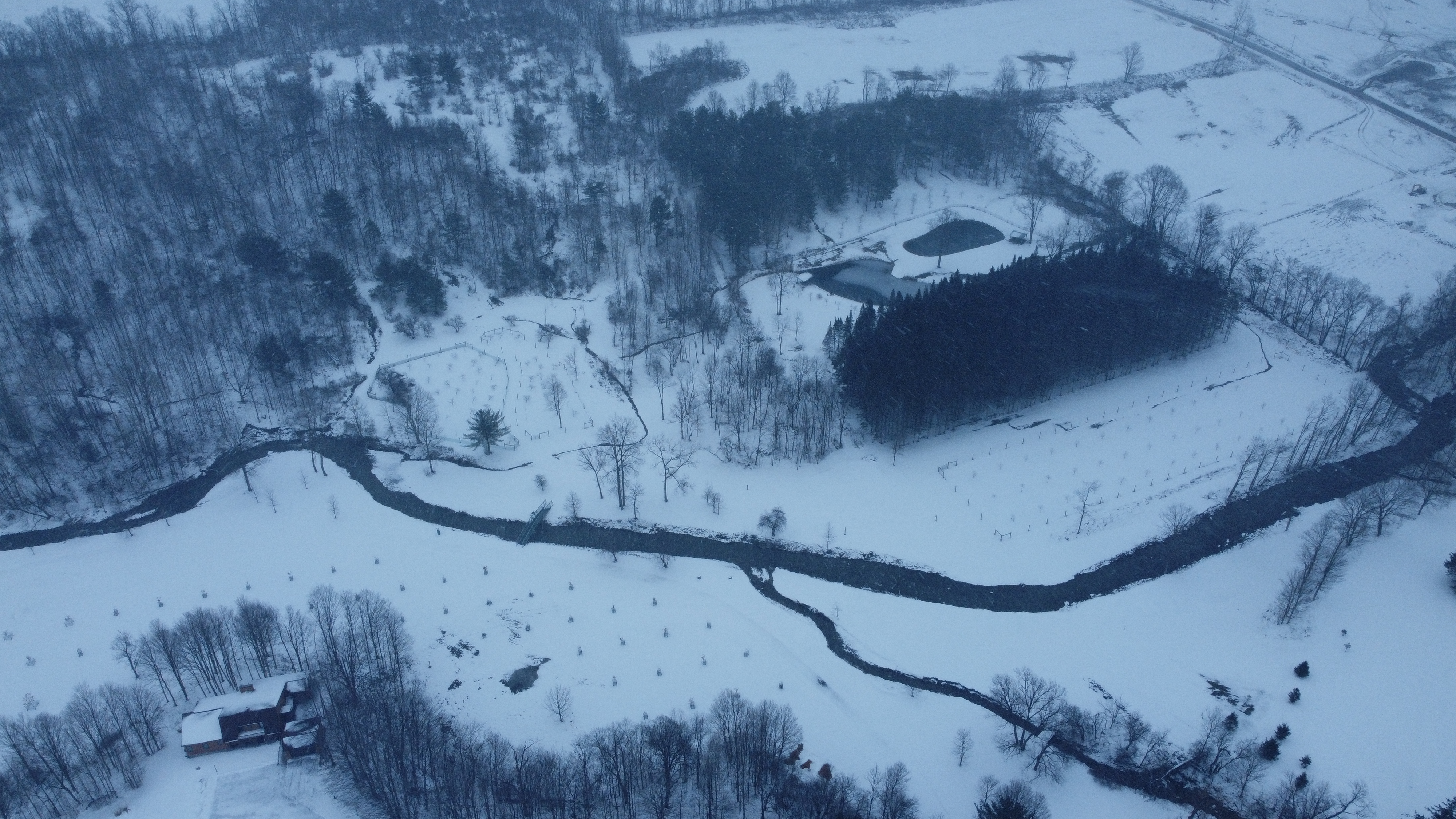
Home Trails Garden & Orchards Chestnuts Ponds & Fishing Wildlife Winter Youtube Instagram About Contact``

The Trails

The Trail Signs

Grandpa and Christopher riding in the Cart on the way to the Ponds

The Farm from the Air

Shot by DJI Mini SE

The Tree of Life at The Farm

Shot by DJI Mini SE

Down below in the snow

Shot by DJI Mini SE

The Old Oak Tree
This tree is 17 ft in circumference

The view of the upper field during fall

The view from Anne's trail near the Old Oak
taken 10/12/20

"Down Below"
taken 10/12/2020

The Upper Field at Sunset

Brendan and Patrick riding in the Kabota and drinking Arnold Palmer Ice Tea

1 / 11
The green bridge being put in

Alice's Bridge
being placed so Grandpa's mother could go fishing.

2 / 11
Chrsitopher and Patrick walking on Tom's Trail.

Christopher and patrick walking on Tom's trail

3 / 11
Aunt Carrol on the Bridge

Aunt Carrol Standing on the walking bridge

4 / 11
the way to the Pond

The way to The Ponds
(The way to Heaven)

5 / 11
the way to the Pond

Patrick Walking throught the Trees

6 / 11
Patrick's dams made out of rocks

Patrick (left) Ellen (middle) and Chrsitopher(right),
Walking on Don's trails.

7 / 11
Patrick's dams made out of rocks

Pat (Back), Christopher and Grandpa riding the golf carts in the trails..

8 / 11
Patrick's dams made out of rocks

Patrick's dams made out of rocks in the stream.

9 / 11
The cousins in the upper feild

A Bunch of the the cousins on the upper field on
5/26/19

10 / 11
Patrick Driving

Fran teaching Patrick to drive the Kabota

11 / 11
The upper feild

The upper field


This is a video of the The plow planting corn in the lower

To view this video on Youtube Click here

Mike and Michelle's time at The Farm

Mike and Michelle walking on the trail near Jerry's bridge

To view this video on Youtube Click here

The Triplets, Mike and Michelle near the ponds
(Picture Taken on 11/26/15)

The triplets on the deck at the house.

Mike, Matthew and Alex in the old tree while it is being built (right)
The Triplets having a picnic at the house. (left)

Mike and Matthew (left) and Fran and Matthew (right)

The Trail Distances

To get the printable copy of the maps click here


Key

Red = the trails
Blue = the stream or the ponds
Grey = The gravel path
Black = Watervale road
Blue Circle = THE OAK TREE


Anne's Trail

Distance = 1.14 mi or 5,992.8ft
THE OAK TREE is 17 ft in circumference This trails goes up 168 ft in its highest point
(start height is the green bridge)

Chrsitopher's Trail

Distance = .5 mi or 2740 ft
This trails goes up 17 ft in its highest point
(start height is the green bridge)

Don's Trail
and
Tom's trail

Distance --mi or ----ft
This trails goes up -- ft in its highest point
(start height is the house)

Don's Trail

Distance = -- mi or --ft
This trails goes up -- ft in its highest point
(start height is the house)

Tom's Trail

Distance = -- mi or --ft
This trails goes up -- ft in its highest point
(start height is the The Top of the Apple Orchard)

Top Circle

Distance = .45 mi or 2376ft
This trails goes up -- ft in its highest point
(start height is the entrance of the circle)

Patrick's Trail (New)

Distance = .28 mi or 1478.4ft
This trails goes up 22 ft in its highest point
(start height is the concrete bridge)

Credits

Distances counted by an Apple Watch gen 3® and FitBit Versa Lite®
Satalite photos from Google Earth®